L'Hostunoise
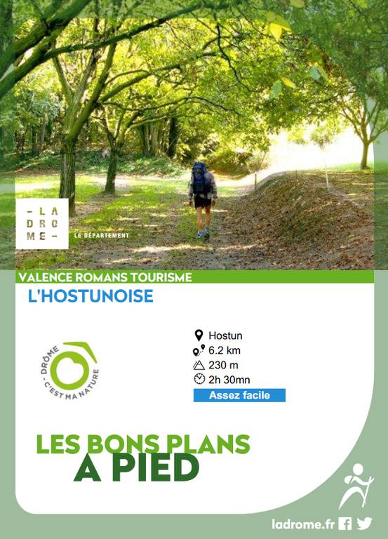
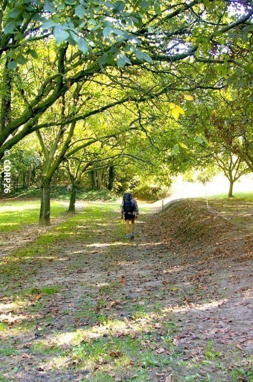
L'Hostunoise
Address
150m nord-est du Parking de l'Eglise de St Martin d'Hostun
26730 HOSTUN
Contact
Languages spoken
- French
150m nord-est du Parking de l'Eglise de St Martin d'Hostun
26730 HOSTUN
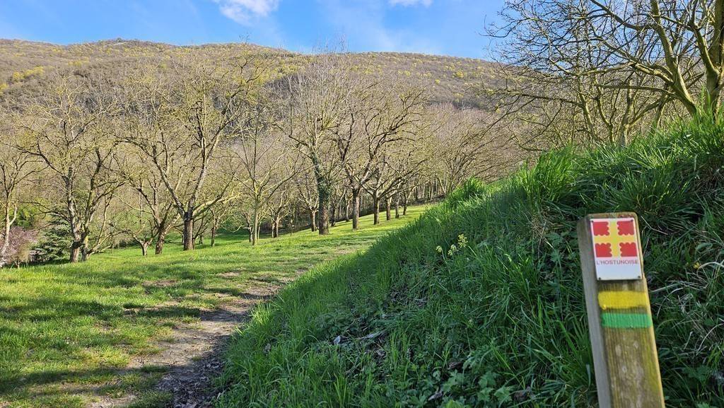
Hiking trail with thematic panels. This educational trail, between the plains and the mountains, is sure to delight families, with each panel featuring a question-game for children and one for adults.<br>There are two possibilities for...
There are two ways to discover these questions: scan the QR codes on the panels, or pick up a leaflet with the questions (Valence tourist office, Romans tourist office, Hostun town hall and grocery store).
Alerte visiteurs
Risque incendie : interdiction d'accès aux espaces forestiers des communes :
- Hostun du 17/08 au 27/08/2026
Hostun, ses noyeraies et son vieux pressoir.
Le pressoir, pour obtenir essentiellement de l’huile de noix, installé vers 1890 au bas de la grande rue, au nouveau quartier Saint-Maurice, attirait les badauds, comme la forge. Il a fonctionné pendant 70 ans. Chaque ferme avait quelques noyers, voire quelques rangées, à usage familial. Le terme de « noyeraie » n’existait pas : il est absent des vieux dictionnaires. Vers 1970, avec le remembrement, des noyeraies de plusieurs centaines de plants se multiplient rapidement. Le pressoir ne correspond plus du tout aux besoins actuels : on trouve aujourd’hui 300 hectares de noyers, soit 30 000 pieds.
1/ Depuis Hostun - St Martin (l\'église) (alt. 292m), prendre en direction du sud-ouest et passer le poteau Hostun – St Martin (alt. 280m). Prendre à gauche le premier chemin de terre. Traverser la route du château, passer à droite du portail et continuer plein sud. Aux Carrières (alt. 336m), redescendre à droite, contourner le château et la maison voisine par la gauche, descendre par un chemin jusqu’au croisement de La Voue , ou La Rey - Combe Blanche (alt. 295m).
Coordonnées: (45.0354873, 5.2092226)
Distance depuis le point de départ: 0 m
2/ Prendre en face, au nord-ouest, sur 80 m, puis le sentier qui descend à droite, plein nord. Plus bas, sur la petite route revêtue, laisser à gauche un chemin qui monte et prendre en dessous, le long d’un pré. En bas, voir le puits à gauche, et revenir sur le village.
Coordonnées: (45.0334037, 5.2037902)
Distance depuis le point de départ: 1 km
3/ Au poteau Hostun – St Maurice (alt. 240m), prendre à gauche, longer le parking de La Patache, le jardin public, La Poste, et chercher le pressoir sur votre droite. Dans l’avenue des marronniers prendre à droite, vers l’église, longer l’école, la rue du charron, traverser la route, prendre le chemin piétonnier qui arrive au coin du cimetière.
Coordonnées: (45.0380414, 5.2008556)
Distance depuis le point de départ: 2 km
4/ Prendre la route à gauche et continuer tout droit (Les Perrières). Prendre la première petite route à droite, monter sur le chemin de la Mine. Au croisement Quartier des marchands (alt. 310m), chercher le panneau 13, vers le sud. Revenir quelques pas en arrière, sur la route qui descend au nord-est, la Combe de Saron. Aux Guerbys, (route étroite) monter à droite, le chemin des Paillonnières sur 20m et prendre à droite, sous un poteau EDF, le sentier qui monte sur 350m.
Coordonnées: (45.0387486, 5.2049429)
Distance depuis le point de départ: 3 km
5/ Aux Sablons (alt. 355m), prendre à droite jusqu’à La Roche (alt. 360m). Suivre la petite route au sud-ouest sur 350m. Enfin, prendre le chemin à gauche, qui monte, puis redescend sur Saint-Martin.
Coordonnées: (45.0422768, 5.2194607)
Distance depuis le point de départ: 5 km
All year round daily.
Free access.