Les crêtes de Belle Combe
Les crêtes de Belle Combe
Address
26730 LA BAUME-D’HOSTUN
Contact
Languages spoken
- French
26730 LA BAUME-D’HOSTUN
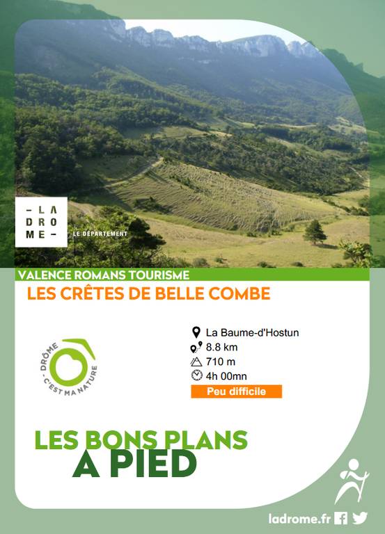
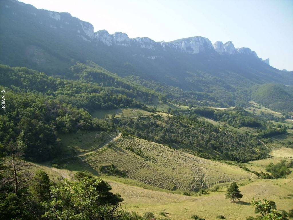
This mid-mountain hike north of the Monts du Matin offers a pleasant climb through undergrowth, followed by fine panoramic views of Royans and the Isère - Bourne confluence from the ridge.
Le GR de Pays « Tour des Monts du Matin »
L’itinéraire décrit ici emprunte une partie de ce GR, qui se rejoint à 1km du village au point « la Madelanière ». Il peut s’effectuer en 2 parties de 2 à 3 jours, il invite à la découverte des Monts du Matin (ainsi nommés, car situés sur les contreforts du Vercors drômois du côté du soleil levant) de part et d’autre de la ligne de crêtes aux parois verticales qui s’élèvent d’un seul trait de 200 à 1300m d’altitude.
1/ Depuis la mairie, s\'élever dans le village, vers \"la Montée du Cimetière\" (alt. 225m). Continuer sur la route, longer le Cimetière, rester sur la route et atteindre \"les Holmes\" (alt. 265m). Prendre le premier sentier qui plonge à gauche, en direction du Merisier. Suivre le pied de la montagne. Le chemin descend jusqu\'à un verger de noyer. Prendre à droite et longer les noyeraies. Rejoindre la route goudronnée et prendre à droite. Contourner la montagne aux \"Massotiers\" (alt. 208m)
Coordonnées: (45.0559391, 5.2261918)
Distance depuis le point de départ: 9 km
2/ Suivre le GR de Pays des Monts du Matin (balisage jaune-rouge), s\'élever en sous-bois et passer par le ravin. Gravir une pente raide pour atteindre un petit col et prendre à gauche pour rejoindre le croisement de \"la Madelanière\" (alt. 400m). Poursuivre à gauche. Plus loin, déboucher sur un chemin, prendre à gauche, puis à droite au poteau \"Vanille\" (alt. 406m).
Coordonnées: (45.0654286, 5.2345052)
Distance depuis le point de départ: 2 km
3/ Continuer tout droit, jusqu’au croisement de \"la Côte\" (alt. 457m), puis bifurquer à droite. Rejoindre la crête de la montagne. Passer sous un pylône et descendre dans le bois pour rejoindre \"le Col de Bois Communaux\" (alt. 536m) Continuer tout droit par une montée raide jusqu\'au croisement \"des Crêtes de Belle Combe\" (alt. 730m).
Coordonnées: (45.0587736, 5.235964)
Distance depuis le point de départ: 3 km
4/ Descendre à droite par un petit sentier en sous-bois en direction de la Montagne. Rejoindre un large chemin, le remonter à gauche puis, un peu avant la propriété privée, descendre sur le sentier à droite, dans le bois. À \"la Montagne\" (alt. 530m), prendre à droite. Traverser le ravin puis descendre à flanc de coteau. À la patte-d\'oie, prendre le sentier le plus à droite. Au \"Cabanon\" (alt. 370m), continuer tout droit. Longer la clairière sur le large chemin. Au lavoir (alt. 290m), prendre la route à gauche jusqu\'au \"Château\" (alt. 260m) Tourner à droite pour rejoindre la route qui monte aux Royets
Coordonnées: (45.0426838, 5.2329007)
Distance depuis le point de départ: 5 km
5/ La suivre jusqu\'à la place Riquet, prendre le chemin communal pour revenir au centre du village.
Coordonnées: (45.0532811, 5.2261128)
Distance depuis le point de départ: 8 km
Alerte visiteurs
Risque incendie : interdiction d'accès aux espaces forestiers des communes :
- La Baume d'Hostun du 07/07 et jusqu'à nouvel ordre
All year round daily.
Free access.